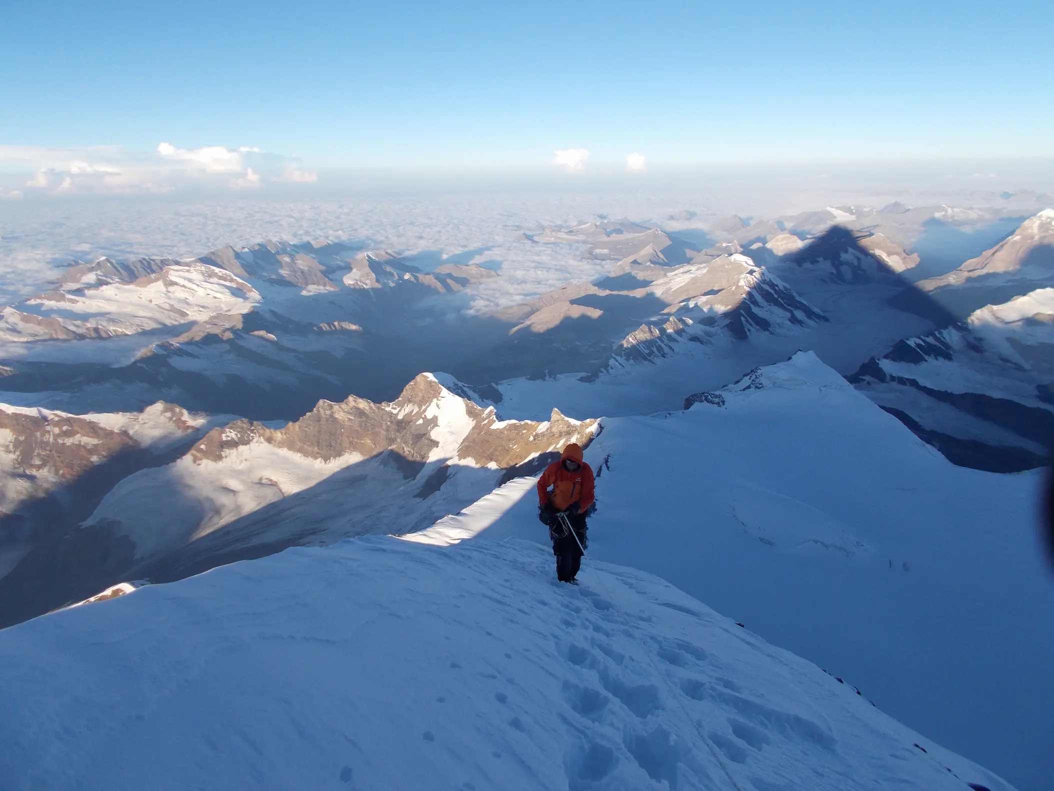
Kun Peak (7,077 metres / 23,219 feet) is one of the most famous expedition peaks in the Indian Himalayas and the second-highest summit of the spectacular Nun Kun Massif. Located in the beautiful Suru Valley of Kargil district, Ladakh, Kun Peak is renowned for its snow-covered slopes, magnificent glaciers, and breathtaking Himalayan landscapes.
Along with Nun Peak, Kun forms the iconic twin peaks that dominate the skyline of the Suru Valley. While both mountains are technical expedition peaks, Kun Peak is often considered slightly less demanding than Nun Peak, making it a popular choice for experienced mountaineers preparing for higher Himalayan expeditions.
The Kun Peak Expedition offers an unforgettable journey through glaciers, high-altitude camps, snowfields, and technical climbing terrain. It requires excellent physical fitness, previous mountaineering experience, and proper acclimatization for a safe and successful summit.
Kun Peak is the second-highest summit of the Nun Kun Massif, standing at 7,077 metres (23,219 feet) above sea level. Together with Nun Peak (7,135 m), it forms one of the most spectacular mountain groups in the Great Himalayan Range.
The mountain is surrounded by extensive glaciers, steep snow slopes, rocky ridges, and high-altitude ice fields. Its relatively straightforward approach compared to some other 7,000-metre peaks makes it one of the most popular expedition mountains in India for experienced climbers.
From the summit, climbers enjoy spectacular panoramic views of the Suru Valley, Zanskar Range, Nun Peak, Parkachik Glacier, and countless snow-covered Himalayan summits.
Kun Peak has an important place in Himalayan mountaineering history. The first successful ascent was made in 1913 by an expedition led by the Italian explorer Mario Piacenza, shortly after the first ascent of nearby Nun Peak.
Over the decades, Kun Peak has become one of India's classic expedition mountains. Its combination of high altitude, glacier travel, and technical climbing continues to attract mountaineers from around the world.
Today, Kun Peak remains one of the most sought-after 7,000-metre expeditions in the Indian Himalayas.
Kun Peak is located in the picturesque Suru Valley of Kargil district, Ladakh. The mountain is approximately 230 km from Leh and around 100 km from Kargil, making it one of the most accessible 7,000-metre expedition peaks in India.
Most expeditions begin in Leh or Kargil before driving to Tangol village, the starting point for the trek to base camp.
Kun Peak rises above one of the most beautiful mountain landscapes in Ladakh. The surrounding region features glaciers, alpine meadows, rocky moraines, snow-covered peaks, and traditional Himalayan villages.
Nearby geographical features include:
The area is famous for trekking, photography, mountaineering, and breathtaking Himalayan scenery.
Kun Peak is open for organized mountaineering expeditions and is one of the few 7,000-metre peaks in India that can be climbed with the necessary permits.
Important Information
The complete expedition usually takes 16–20 days, including travel, acclimatization, climbing, and return.
Kun Peak is one of India's most rewarding expedition mountains, offering an ideal combination of altitude, technical climbing, and breathtaking Himalayan scenery. Rising beside the majestic Nun Peak, it provides mountaineers with an unforgettable high-altitude experience in the heart of Ladakh.
Its magnificent glaciers, snow-covered ridges, and spectacular summit views make Kun Peak one of the finest 7,000-metre expedition peaks in the Indian Himalayas. Whether you are preparing for higher Himalayan objectives or seeking a world-class mountaineering adventure, Kun Peak offers an experience that will stay with you for a lifetime.
| Elevation | 7,077 m (23,219 ft) |
| Mountain Range | Nun Kun Massif |
| Mountain System | Great Himalaya |
| Region | Suru Valley, Kargil, Ladakh |
| Latitude | 34.0100° N |
| Longitude | 75.9700° E |
| Difficulty | 0 |
| Climbing Status | Open with Required Permits |
| Best Season | July to September |
| Base Camp Elev. | Approximately 4,700 metres |